Tarwater Creek --- New MTR routes
PARC Monthly Trail Run
Tarwater Creek in Pescadero County Park
Sunday, August 16, 2015
This month we will be covering little used trails on routes new to PARC's Monthly Trail Run. The seldom visited Pescadero Creek County Park is deep in the Santa Cruz Mountains directly over the ridge from Palo Alto and just West of better known Portola State Park. Our mostly-shaded routes visit several interesting features including an abandoned dairy farm, one of the largest remaining Coast Redwoods in the Santa Cruz Mountains, clover fields, a natural tar seep, and logging artifacts with abandoned machinery. These totally beautiful soft and well maintained trails are well-worth the slightly longer 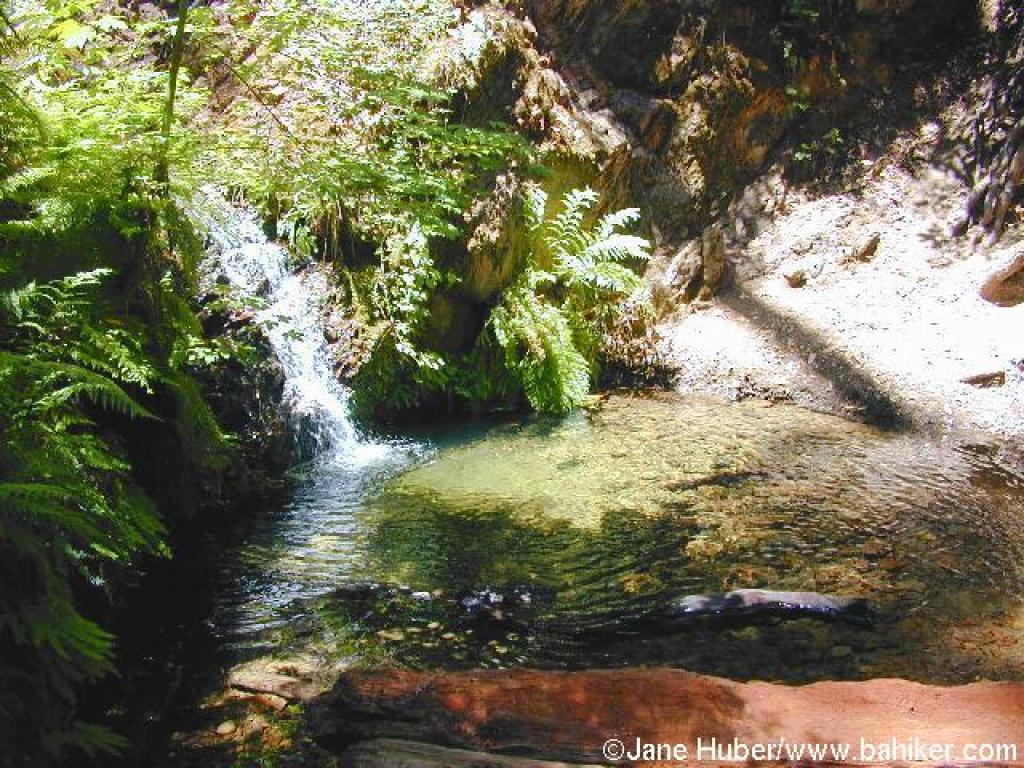 drive from Palo Alto.
When Sunday, August 16, 2015. Meet at 8:20am for an 8:30am start. Carpools will leave promptly at 7:40am from the Park&Ride lot at 280 and Page Mill Road.
Pls carpool as parking at the trail head is somewhat limited.
Where Pescadero Creek County Park Tarwater Trailhead. No fee for parking.
How to get there Choose one of these Google Maps routes, or set your GPS to 37.388139, -122.163278. Cyclists frequent these roads on weekend mornings, pls be super vigilant and patient. The most direct route, up Page Mill, has the most cyclists. Consider taking the somewhat longer Hwy 84 route to avoid this.
However you get to it, once at the junction of Skyline and Alpine (Page Mill sort of), continue West down Alpine. 3.2 miles later, where Portola State Park Rd continues straight, take a right to stay on Alpine. .4 miles further on, take the left (sorta go straight really) onto Buffalo Creek Road (It may also be signed Camp Pomponio Rd!). Follow this 1 mile to the trailhead. This is a one-lane road in parts.
What An intermediate route of about 8 miles (1,600' vertical) and a longer route of about 14 (2,100' vertical). Note that the distances are a bit uncertain as the park map doesn't agree well with actual GPS tracks. Pretty sure that the routes are not longer than advertised. If they are short, then an option is to go out and back on the Upper Coyote Ridge Trail to add up to 4 miles after getting back to the trailhead. Additionally, there are trail junctions where runners can opt to cut back for a shorter run. We bring along 15 or so trail maps (like the one below), or print one for yourself. This is a remote trail run and each runner must carry at least one water bottle. To avoid having to search for lost runners we ask every runner to find other runners of approximately the same running ability to form a group. As usual, there will be a Runner's Potluck after the run, so please bring food or drink to share.
Map derived from the Park map and Trail Guide. Long route follow the non-'i' #s. Intermediate route goes back to the trailhead on 5i & 6i.
-- Click on map for high-resolution version --

© 2025 Created by Mammen Jacob.
Powered by
![]()